

ACCURATE DATA. CLEAR BOUNDARIES.
Land Surveying & Mapping Services
Plump Engineering, Inc's surveying and mapping services integrate seamlessly with our engineering design, so the data behind your project is as coordinated as the drawings on top of it.
Integrated Land Surveying & Mapping Services
Precise boundary and topographic data form the foundation of every successful design, entitlement, and real estate transaction. PEI’s surveying team delivers consistent, highly accurate spatial data that integrates cleanly into civil plans, architectural layouts, and legal documentation.
By maintaining direct alignment across our field crews, mapping specialists, and project design teams—whether working in-house or with outside design partners—we ensure every boundary, easement, and elevation translates accurately from paper to site. From ALTA/NSPS land title surveys to parcel maps and construction staking, our work stands up to rigorous lender scrutiny, municipal review, and field execution.
ALTA Land Title Surveys
Surveys prepared to ALTA/NSPS standards for lenders, title companies, and buyers, documenting boundaries, improvements, easements, and encroachments with the rigor a transaction demands.
Boundary and Lot Surveys
Definitive boundary establishment for design, construction, fencing, and disputes, researched against the record and marked on the ground.
Topographic Maps and Aerial Mapping
Ground and aerial topographic mapping that captures the existing site in the detail design requires, delivered in formats your engineers and architects work in directly.
GPS and GIS Surveys
High-precision GPS surveying and GIS data collection that tie your project to real-world coordinates and put your site data to work beyond a single set of plans.
Subdivision and Parcel Maps
Tract, parcel, and subdivision mapping carried from tentative map through recordation, coordinated with the entitlement and civil work driving the project.
Legal Descriptions and Easement Plans
Precise legal descriptions and exhibit plans for easements, dedications, lot line adjustments, and conveyances, written to record cleanly and read unambiguously decades later.


Surveyed for Engineers, by the Team That Builds the Plan.
When land surveying and engineering live in separate firms, essential field data undergoes multiple file conversions, coordinate transformations, and manual re-interpretations. Small discrepancies slip through, leading to costly design revisions, grading errors, and field delays.
At Plump Engineering, Inc (PEI), our survey crews and design engineers operate under the same roof on a single, unified coordinate basis. From boundary surveys and topographic mapping to construction layout, the data we capture in the field directly feeds the design model without translation loss. What we measure is precisely what gets designed, permitted, and built.
industries of every size & type

AEROSPACE & DEFENSE
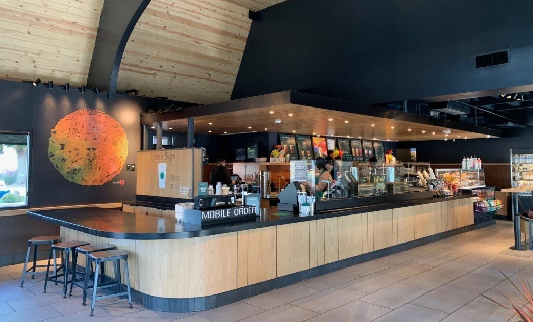
RETAIL & RESTAURANTS

MEDICAL & DENTAL

EDUCATION

FOOD PROCESSING & COLD STORAGE
PHARMACEUTICAL & LIFE SCIENCES

HOTEL & MULTIFAMILY
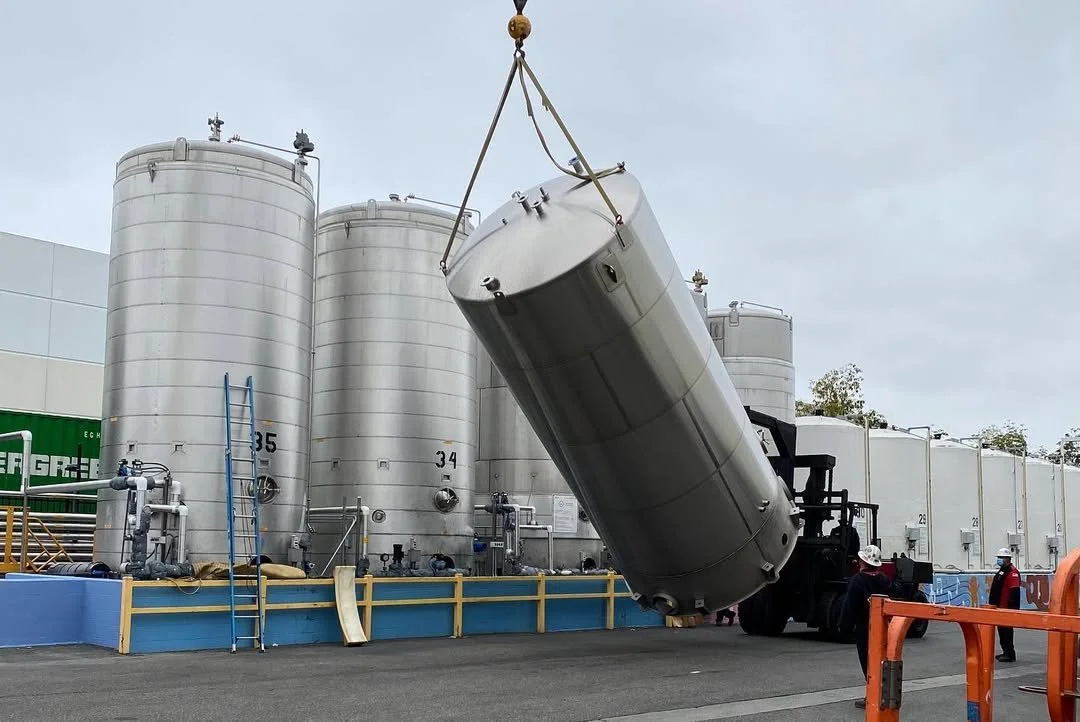
INDUSTRIAL / MANUFACTURING

AUTOMOTIVE
Let’s Discuss Your Project
From a single lot survey to mapping an entire subdivision, our team is ready to help. Reach out and we'll connect you with the right surveyor for your project.